vessel SANTA CRUZ IMO: 9287170, vesseltracker.com
Vessel SANTA CRUZ IMO: 9287170,
MMSI: 636016671 callsign: size: x

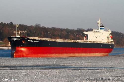
Find the position of the vessel SANTA CRUZ on the map. The latter are known coordinates and path.

marine traffic ship tracker show on live map

The current position of vessel SANTA CRUZ is -25.7367 lat / -44.8691 lng. Updated: 2024-05-02 00:44:48 UTC
Port of registry:
Monrovia (capital city of Liberia)
Gross tonnage:
39969
Service entry:
2005-01-01T00:00:00Z

Manufacturer:
Tsuneishi Shipbuilding
Details:


Last coordinates of the vessel:
UTC, -25.3155, -45.4539, course: 136, speed: 12.4
UTC, -25.4389, -45.3331, course: 136, speed: 12.5
UTC, -25.6144, -45.1446, course: 125, speed: 12.8
2024-05-02 00:44:48 UTC, -25.7367, -44.8691, course: 115, speed: 12.4


Most frequent ports a vessels calls at SANTA CRUZ (636016671):

Kao-Hsiung Kang, traffic: 5
Newcastle, traffic: 3
Xiamen, traffic: 2
Gladstone Harbor, traffic: 2
Hsia-Men, traffic: 2
Balikpapan, traffic: 1
Bur Ibrahim, traffic: 1
Kali Limenes, traffic: 1
Kandla, traffic: 1
Port Said, traffic: 1
Sambu, traffic: 1
Tuticorin, traffic: 1

Link to the map:


Find another ship

SANTA_CRUZ (636016671) last ports (portcalls and passsages)

Sambu | 2023-12-11 21:34:45
Kali Limenes | 2022-12-30 05:13:40
Port Said | 2022-12-28 17:15:41
Bur Ibrahim | 2022-12-27 17:22:32
Kandla | 2022-12-16 05:18:55
Tuticorin | 2022-12-10 11:19:21
Xiamen | 2022-07-04 04:43:51
Xiamen | 2022-06-30 04:30:17
Kao-Hsiung Kang | 2022-06-10 01:22:45
Newcastle | 2022-05-11 10:12:55
Balikpapan | 2022-02-14 08:39:33
Kao-Hsiung Kang | 2022-02-08 03:36:12
Newcastle | 2022-01-15 17:40:09
Gladstone Harbor | 2022-01-09 04:00:19
Kao-Hsiung Kang | 2021-12-25 03:00:10