 vesseltracker.com
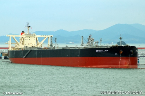
Find the position of the vessel 'PRINCESS ALEXIA' on the map. The latter are known coordinates and path.
marine traffic ship tracker show on live map
The current position of vessel 'PRINCESS ALEXIA' is 35.1297 lat / 129.729 lng. Updated: 2024-05-05 16:02:08 UTCPayload_mass:
306352 tonneGross tonnage:
159875Service entry:
2004-01-01T00:00:00ZManufacturer:
Mitsubishi Heavy Industries Kobe Shipyard & Machinery Works (shipbuilding subsidiary of Mitsubishi Heavy Industries)Details:
Last coordinates of the vessel:
UTC, 35.1213, 129.753, course: 229, speed: 0.9UTC, 35.1215, 129.752, course: 231, speed: 0.9
UTC, 35.1297, 129.729, course: 230, speed: 1.4
2024-05-05 16:02:08 UTC, 35.1297, 129.729, course: 230, speed: 1.4