vessel Father Mckee IMO: 9295878, Fish Carrier
vesseltracker.com
Vessel Father Mckee IMO: 9295878, Fish Carrier
MMSI: 250513000 callsign: EIPG size: 64x12

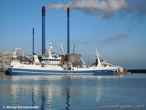
Find the position of the vessel Father Mckee on the map. The latter are known coordinates and path.

marine traffic ship tracker show on live map

The current position of vessel Father Mckee is 62.0065 lat / -6.77532 lng. Updated: 2024-05-06 10:38:34 UTC

Currently sailing under the flag of Ireland

Father Mckee built in 2004 year

Gross tonnage:
1499
Service entry:
2004-01-01T00:00:00Z
Details:


Last coordinates of the vessel:
UTC, 62.0065, -6.77541, course: 216, speed: 0
UTC, 62.0065, -6.7754, course: 216, speed: 0
UTC, 62.0065, -6.77535, course: 216, speed: 0.1
2024-05-06 10:38:34 UTC, 62.0065, -6.77532, course: 216, speed: 0


Most frequent ports a vessels calls at Father Mckee (250513000):

Santander, traffic: 6
Torshavn, traffic: 5
Klaksvig, traffic: 3
Pentland Firth, traffic: 2
Skagens Odde, traffic: 1

Link to the map:


Find another ship

Father_Mckee (250513000) last ports (portcalls and passsages)

Torshavn | 2024-05-06 11:23:32
Torshavn | 2024-05-02 10:34:23
Torshavn | 2024-04-28 09:20:26
Torshavn | 2024-04-24 09:15:53
Torshavn | 2024-04-20 08:21:50
Klaksvig | 2024-04-19 05:44:21
Pentland Firth | 2024-03-22 23:26:54
Klaksvig | 2024-01-27 14:02:16
Skagens Odde | 2024-01-12 19:57:42
Pentland Firth | 2024-01-08 10:59:27
Klaksvig | 2023-01-26 06:10:42
Santander | 2022-09-11 16:02:38
Santander | 2022-09-07 13:58:43
Santander | 2022-09-03 13:48:51
Santander | 2022-08-30 10:46:34
Santander | 2022-08-26 10:18:28
Santander | 2022-08-22 10:03:35