 vesseltracker.com
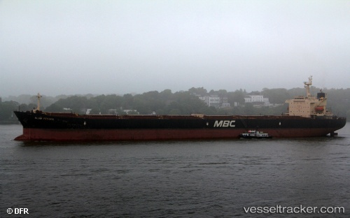
Find the position of the vessel Captain Mike on the map. The latter are known coordinates and path.
marine traffic ship tracker show on live map
The current position of vessel Captain Mike is 2.76243 lat / 101.073 lng. Updated: 2024-05-07 10:44:46 UTCPayload_mass:
87052 tonneGross tonnage:
46982Service entry:
2005-01-01T00:00:00ZManufacturer:
IHI Marine UnitedDetails:
Last coordinates of the vessel:
UTC, 3.125, 100.623, course: -1, speed: 11UTC, 2.93631, 100.862, course: 129, speed: 10.6
UTC, 2.88803, 100.923, course: 135, speed: 10.5
2024-05-07 10:44:46 UTC, 2.76243, 101.073, course: 117, speed: 11