 vesseltracker.com
Find the position of the vessel Al Reem i on the map. The latter are known coordinates and path.
marine traffic ship tracker show on live map
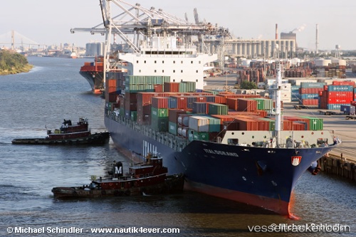
The current position of vessel Al Reem i is 24.2647 lat / 52.6929 lng. Updated: 2024-05-19 01:05:29 UTCCurrently sailing under the flag of UAE
Al Reem i built in 2006 year
Port of registry:
Majuro (coral atoll, capital of the Marshall Islands)Deadweight:
38686 tGross tonnage:
32968Operator:
Fleet Management Limited (ship management company)Service entry:
2006-01-01T00:00:00ZManufacturer:
K Shipbuilding (South Korean shipbuilding company)Details:
Last coordinates of the vessel:
UTC, 24.1524, 52.7535, course: 1, speed: 8.8UTC, 24.2647, 52.6929, course: 345, speed: 12.9
UTC, 24.2647, 52.6929, course: 345, speed: 12.9
2024-05-19 01:05:29 UTC, 24.2647, 52.6929, course: 345, speed: 12.9