vessel NEREUS 1 IMO: 9306548, LPG Tanker vesseltracker.com
Vessel NEREUS 1 IMO: 9306548, LPG Tanker
MMSI: 352001265 callsign: 3E4012 size: 225x36

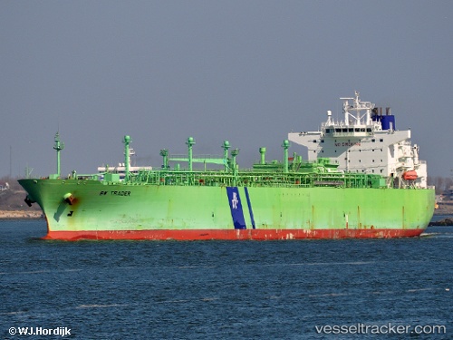
Find the position of the vessel NEREUS 1 on the map. The latter are known coordinates and path.

marine traffic ship tracker show on live map

The current position of vessel NEREUS 1 is 24.9497 lat / 56.9852 lng. Updated: 2024-05-04 01:23:43 UTC

Currently sailing under the flag of Panama

NEREUS 1 built in 2006 year

Deadweight:
53151 t

Details:


Last coordinates of the vessel:
UTC, 25.2206, 56.9426, course: 168, speed: 8.2
UTC, 25.1693, 56.9479, course: 171, speed: 8.1
UTC, 25.0249, 56.9763, course: 176, speed: 7.8
2024-05-04 01:23:43 UTC, 24.9497, 56.9852, course: 171, speed: 8.5


Most frequent ports a vessels calls at NEREUS 1 (352001265):

Mina Abd Allah, traffic: 8
Mina Al Ahmadi, traffic: 6
Sambu, traffic: 6
Singapore, traffic: 4
Haldia, traffic: 3
Vishakhapatnam, traffic: 2
Mina Az Zawr, traffic: 2
Mangalore, traffic: 2
Panamburu, traffic: 2
Nansha, traffic: 1

Link to the map:


Find another ship

NEREUS_1 (352001265) last ports (portcalls and passsages)

Singapore | 2023-11-12 09:16:05
Sambu | 2023-10-09 07:32:50
Singapore | 2023-09-08 07:19:17
Nansha | 2023-07-03 06:17:35
Singapore | 2023-06-27 14:13:07
Sambu | 2023-05-05 08:32:26
Sambu | 2023-01-09 12:03:50
Haldia | 2022-03-10 08:53:11
Mangalore | 2022-02-24 15:35:08
Haldia | 2022-02-01 05:43:32
Vishakhapatnam | 2022-01-26 14:00:19
Mina Abd Allah | 2022-01-10 06:45:07
Mina Al Ahmadi | 2022-01-10 06:35:06
Mina Al Ahmadi | 2022-01-08 11:45:06
Mina Al Ahmadi | 2022-01-07 08:40:04