 vesseltracker.com
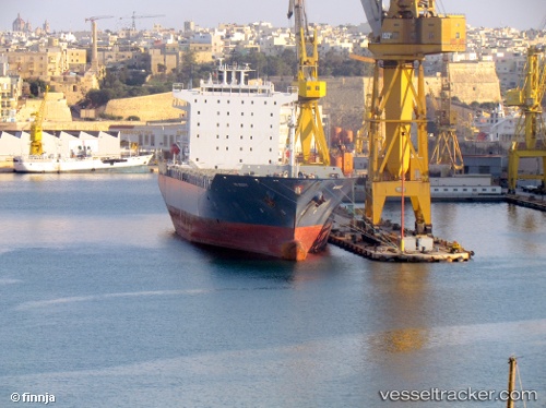
Find the position of the vessel EMMA A on the map. The latter are known coordinates and path.
marine traffic ship tracker show on live map
The current position of vessel EMMA A is 12.0627 lat / -74.4191 lng. Updated: 2024-05-03 17:45:56 UTCCurrently sailing under the flag of Malta
EMMA A built in 2007 year
Port of registry:
İzmir (city in İzmir Province, Turkey)Deadweight:
38547 tGross tonnage:
32968Operator:
ARKAS Line (shipping company of Turkey)Service entry:
2007-01-01T00:00:00ZManufacturer:
K Shipbuilding (South Korean shipbuilding company)Details:
Last coordinates of the vessel:
UTC, 11.2367, -75.2678, course: 46, speed: 17.2UTC, 11.5782, -74.9188, course: 44, speed: 16.6
UTC, 11.9568, -74.5263, course: 44, speed: 17.6
2024-05-03 17:45:56 UTC, 12.0627, -74.4191, course: 45, speed: 17.6