 vesseltracker.com
Find the position of the vessel Akacia on the map. The latter are known coordinates and path.
marine traffic ship tracker show on live map
The current position of vessel Akacia is 57.6848 lat / 11.244 lng. Updated: 2025-07-04 02:35:35 UTCCurrently sailing under the flag of Portugal
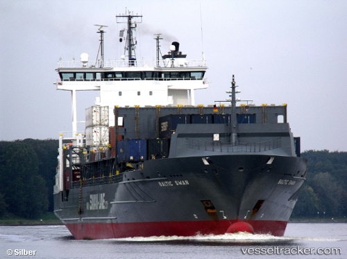
Akacia built in 2004 year
Deadweight:
13713 tPayload_mass:
13713 tonneGross tonnage:
11662Beam:
22.5 metreService entry:
2004-01-01T00:00:00ZManufacturer:
Pella Sietas (former German shipbuilding company)
Details:
Last coordinates of the vessel:
UTC, 57.773, 10.3787, course: 61, speed: 11.5UTC, 57.7955, 10.4744, course: 70, speed: 11.5
UTC, 57.7804, 10.894, course: 127, speed: 12.3
2025-07-04 02:35:35 UTC, 57.6848, 11.244, course: 113, speed: 12.2