 vesseltracker.com
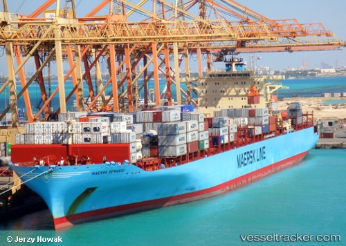
Find the position of the vessel Maersk Semakau on the map. The latter are known coordinates and path.
marine traffic ship tracker show on live map
The current position of vessel Maersk Semakau is -34.7673 lat / 138.492 lng. Updated: 2024-05-19 20:46:37 UTCGross tonnage:
79702Service entry:
2007-01-01T00:00:00ZManufacturer:
Hyundai Heavy Industries (company)
Details:
Last coordinates of the vessel:
UTC, -34.7673, 138.492, course: 230, speed: 0UTC, -34.7667, 138.492, course: -1, speed: 0
UTC, -34.7673, 138.492, course: 231, speed: 0
2024-05-19 20:46:37 UTC, -34.7673, 138.492, course: 231, speed: 0