 vesseltracker.com
Find the position of the vessel Manalagi Hita on the map. The latter are known coordinates and path.
marine traffic ship tracker show on live map
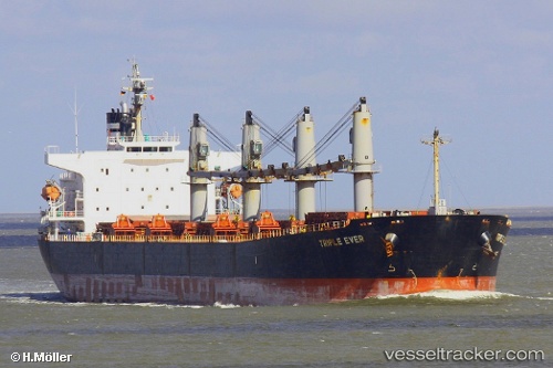
The current position of vessel Manalagi Hita is -2.13455 lat / 104.974 lng. Updated: 2024-04-30 01:55:03 UTCPort of registry:
Jakarta (capital city and smallest province of Indonesia)Payload_mass:
52454 tonneGross tonnage:
30046Service entry:
2005-01-01T00:00:00ZManufacturer:
Tsuneishi ShipbuildingDetails:
Last coordinates of the vessel:
UTC, -2.13451, 104.974, course: -1, speed: 0.1UTC, -2.13467, 104.974, course: -1, speed: 0
UTC, -2.13485, 104.975, course: -1, speed: 0.1
2024-04-30 01:55:03 UTC, -2.13455, 104.974, course: -1, speed: 0