 vesseltracker.com
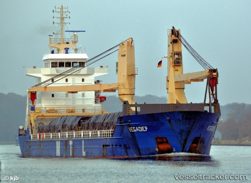
 ANKA BLUE
Current Status
Where is the vessel?
ANKA BLUE is currently in Near Madras, based on AIS data received about 2h ago.
Latest AIS update:
Current position: 13.08592° N, 80.34157° E (Near Madras)
Average speed (last 7 days): Loading…
Average speed (last 30 days): Loading…
Vessel profile: ANKA BLUE is a General Cargo with dimensions m x m.
This page combines live AIS, route history, probable destination signals, nearby traffic, and port activity for practical vessel monitoring.
The current position of vessel ANKA BLUE is 13.08592 lat / 80.34157 lng. Updated: 2026-03-25 14:05:21 UTCNearest reference points:
- Near Chennai (ex Madras)
- Near Madras
- 17 nm NE of Nandiambakkam
Currently sailing under the flag of Barbados ![]()
Details:
Live Vessel ANKA BLUE Analytics (details, animations, etc.)
Recent AIS points (UTC):
2026-03-25 08:08:24 UTC · 13.08593, 80.34223 · SOG 0.6 kn · COG -1°2026-03-25 09:44:21 UTC · 13.08599, 80.34198 · SOG 0.1 kn · COG 173°
2026-03-25 12:23:21 UTC · 13.08595, 80.34162 · SOG 0 kn · COG 165°
2026-03-25 14:05:21 UTC · 13.08592, 80.34157 · SOG 0 kn · COG 166°