 vesseltracker.com
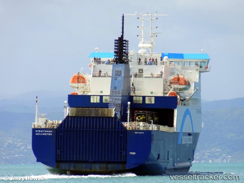
 ISLANDER
Current Status
Where is the vessel?
ISLANDER is currently in Near ST HELENS, based on AIS data received about 1h ago.
Latest AIS update:
Current position: 50.73219° N, 1.05999° W (Near ST HELENS)
Average speed (last 7 days): Loading…
Average speed (last 30 days): Loading…
Vessel profile: ISLANDER is a Ro-Ro/Passenger Ship with dimensions m x m.
This page combines live AIS, route history, probable destination signals, nearby traffic, and port activity for practical vessel monitoring.
The current position of vessel ISLANDER is 50.73219 lat / -1.05999 lng. Updated: 2026-03-25 20:17:02 UTCNearest reference points:
- Near EASTNEY
- Near GOSPORT
- Near Portsmouth
Currently sailing under the flag of Bahamas ![]()
Details:
Live Vessel ISLANDER Analytics (details, animations, etc.)
Recent AIS points (UTC):
2026-03-25 13:35:16 UTC · 50.51525, -0.99483 · SOG 12.4 kn · COG 13°2026-03-25 16:10:25 UTC · 50.81118, -1.10084 · SOG 1.3 kn · COG 328°
2026-03-25 17:59:48 UTC · 50.81094, -1.09656 · SOG 0 kn · COG 259°
2026-03-25 20:17:02 UTC · 50.73219, -1.05999 · SOG 16.9 kn · COG 135°