 vesseltracker.com
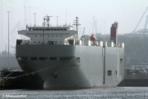
Find the position of the vessel Eastern Highway on the map. The latter are known coordinates and path.
marine traffic ship tracker show on live map
The current position of vessel Eastern Highway is 34.698 lat / 135.28 lng. Updated: 2024-04-30 01:36:15 UTCPort of registry:
Majuro (coral atoll, capital of the Marshall Islands)Payload_mass:
12991 tonneGross tonnage:
39422Service entry:
2006-01-01T00:00:00ZManufacturer:
Shin Kurushima Dockyard (Japanese shipbuilding company)Details:
Last coordinates of the vessel:
UTC, 34.698, 135.28, course: 99, speed: 0UTC, 34.698, 135.28, course: 99, speed: 0.1
UTC, 34.698, 135.28, course: 99, speed: 0.1
2024-04-30 01:36:15 UTC, 34.698, 135.28, course: 99, speed: 0.1