 vesseltracker.com
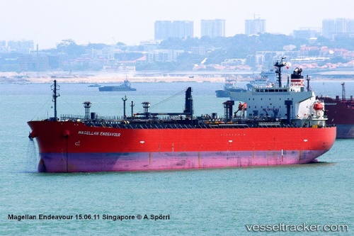
 AMARA
AMARA
Current Status
Where is the vessel?
AMARA is currently in Near Nha Be, based on AIS data received about 2h ago.
Latest AIS update:
Current position: 10.69467° N, 106.75096° E (Near Nha Be)
Average speed (last 7 days): Loading…
Average speed (last 30 days): Loading…
Vessel profile: AMARA is a Oil/Chemical Tanker with dimensions m x m.
This page combines live AIS, route history, probable destination signals, nearby traffic, and port activity for practical vessel monitoring.
The current position of vessel AMARA is 10.69467 lat / 106.75096 lng. Updated: 2026-03-26 01:24:12 UTCNearest reference points:
- Near Nha Be
- Near Cat Lai Oil Port
- Near Saigon Petro Oil Terminal
Currently sailing under the flag of Liberia ![]()
Details:
Live Vessel AMARA Analytics (details, animations, etc.)
Recent AIS points (UTC):
2026-03-25 19:41:57 UTC · 10.69467, 106.75097 · SOG 0 kn · COG 156°2026-03-25 21:34:38 UTC · 10.69469, 106.75097 · SOG 0 kn · COG 156°
2026-03-26 00:21:03 UTC · 10.69468, 106.75096 · SOG 0 kn · COG 156°
2026-03-26 01:24:12 UTC · 10.69467, 106.75096 · SOG 0 kn · COG 156°