 vesseltracker.com
Find the position of the vessel Venlo on the map. The latter are known coordinates and path.
marine traffic ship tracker show on live map
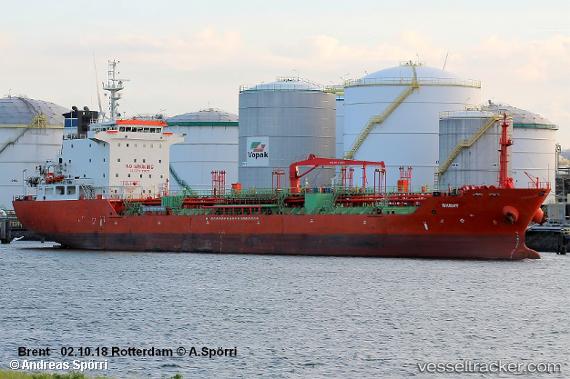
The current position of vessel Venlo is 24.1361 lat / -94.9812 lng. Updated: 2024-05-02 11:51:49 UTCPort of registry:
Majuro (coral atoll, capital of the Marshall Islands)Payload_mass:
13006 tonneGross tonnage:
8539Beam:
20.43 metreService entry:
2007-01-01T00:00:00ZDetails:
Last coordinates of the vessel:
UTC, 24.4191, -94.4889, course: 236, speed: 11.8UTC, 24.2614, -94.7669, course: 237, speed: 12.1
UTC, 24.2614, -94.7669, course: 237, speed: 12.1
2024-05-02 11:51:49 UTC, 24.1361, -94.9812, course: 235, speed: 11.8