 vesseltracker.com
Find the position of the vessel Maersk Altair on the map. The latter are known coordinates and path.
marine traffic ship tracker show on live map
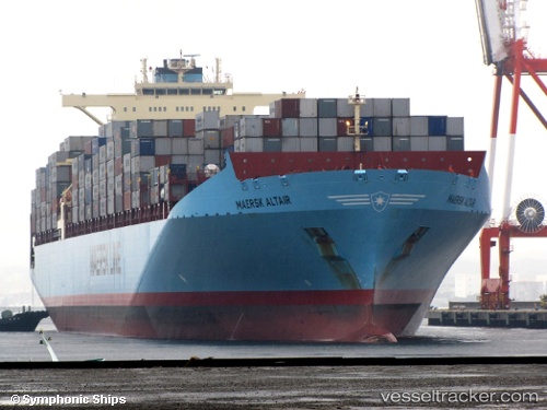
The current position of vessel Maersk Altair is 43.4914 lat / 172.938 lng. Updated: 2024-05-05 22:04:09 UTCCurrently sailing under the flag of Singapore
Maersk Altair built in 2007 year
Speed:
25.5 knotDeadweight:
110295 tGross tonnage:
108393Service entry:
2008-01-01T00:00:00ZDetails:
Last coordinates of the vessel:
UTC, 43.445, 172.513, course: -1, speed: 18UTC, 43.4705, 172.755, course: 80, speed: 18.2
UTC, 43.4897, 172.923, course: 80, speed: 18.1
2024-05-05 22:04:09 UTC, 43.4914, 172.938, course: 80, speed: 18.2