 vesseltracker.com
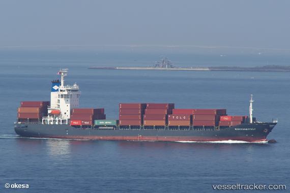
Find the position of the vessel Marconnecticut on the map. The latter are known coordinates and path.
marine traffic ship tracker show on live map
The current position of vessel Marconnecticut is 35.0265 lat / 136.792 lng. Updated: 2024-05-04 10:04:21 UTCCurrently sailing under the flag of Antigua Barbuda
Marconnecticut built in 2007 year
Port of registry:
Saint John's (capital city of Antigua and Barbuda)Deadweight:
12774 tPayload_mass:
12774.96 tonneGross tonnage:
9610Service entry:
2007-01-01T00:00:00ZDetails:
Last coordinates of the vessel:
UTC, 35.0265, 136.792, course: 296, speed: 0.6UTC, 35.0265, 136.792, course: 296, speed: 0.6
UTC, 35.0265, 136.792, course: 296, speed: 0.6
2024-05-04 10:04:21 UTC, 35.0265, 136.792, course: 296, speed: 0.6