 vesseltracker.com
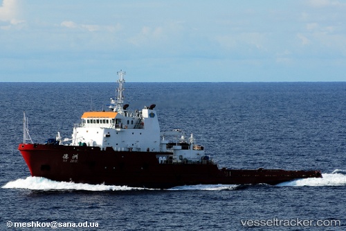
Find the position of the vessel DE TIAN on the map. The latter are known coordinates and path.
marine traffic ship tracker show on live map
The current position of vessel DE TIAN is 25.9343 lat / 55.5822 lng. Updated: 2024-04-28 22:26:34 UTCCurrently sailing under the flag of China Peopless Republic
DE TIAN built in 2007 year
Port of registry:
Monrovia (capital city of Liberia)Deadweight:
3266 tPayload_mass:
3266 tonneGross tonnage:
4044Service entry:
2007-01-01T00:00:00ZDetails:
Last coordinates of the vessel:
UTC, 25.7733, 55.3693, course: 32, speed: 7.2UTC, 25.8411, 55.4327, course: 45, speed: 6.9
UTC, 25.9139, 55.538, course: 65, speed: 7
2024-04-28 22:26:34 UTC, 25.9343, 55.5822, course: 70, speed: 7