 vesseltracker.com
 Anina
Anina
Current Status
Where is the vessel?
Anina is currently in 16 nm SE of Slite, based on AIS data received about 2h ago.
Latest AIS update:
Current position: 57.49030° N, 19.25659° E (16 nm SE of Slite)
Average speed (last 7 days): Loading…
Average speed (last 30 days): Loading…
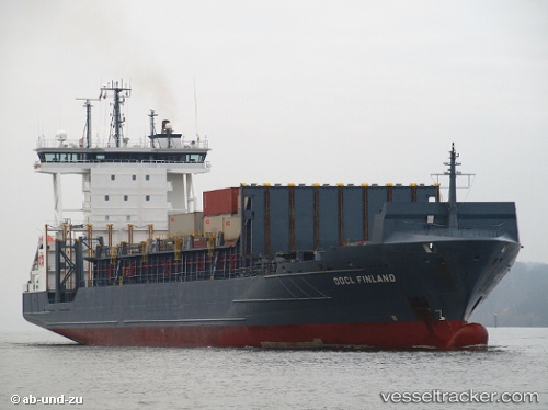
Vessel profile: Anina is a Container Ship with dimensions 149m x 23m.
This page combines live AIS, route history, probable destination signals, nearby traffic, and port activity for practical vessel monitoring.
The current position of vessel Anina is 57.49030 lat / 19.25659 lng. Updated: 2026-03-26 04:02:53 UTCNearest reference points:
- 37 nm W of Vikati Sadam
- Near NOTTNAS
- 39 nm W of Pilies juru uosto PVP/Klaipeda
Currently sailing under the flag of Portugal ![]()
Anina built in 2006 year
Deadweight:
13720 tDetails:
Live Vessel Anina Analytics (details, animations, etc.)
Recent AIS points (UTC):
2026-03-25 21:41:51 UTC · 58.56119, 20.74763 · SOG 11.9 kn · COG 218°2026-03-25 23:30:03 UTC · 58.26734, 20.33045 · SOG 12.5 kn · COG 216°
2026-03-26 01:39:03 UTC · 57.90837, 19.83202 · SOG 12.5 kn · COG 216°
2026-03-26 04:02:53 UTC · 57.49030, 19.25659 · SOG 12.7 kn · COG 217°