 vesseltracker.com
Find the position of the vessel Pavo J on the map. The latter are known coordinates and path.
marine traffic ship tracker show on live map
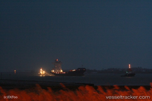
The current position of vessel Pavo J is 50.8805 lat / 1.46885 lng. Updated: 2024-05-03 16:28:12 UTCCurrently sailing under the flag of Antigua Barbuda
Pavo J built in 2007 year
Port of registry:
Saint John's (capital city of Antigua and Barbuda)Deadweight:
11180 tPayload_mass:
11180 tonneGross tonnage:
8246Service entry:
2007-01-01T00:00:00ZManufacturer:
Rolandwerft (Shipyard in Warfleth an der Unterweser, which belongs to Berne)Details:
Last coordinates of the vessel:
UTC, 50.3305, 0.292927, course: 73, speed: 17.1UTC, 50.4273, 0.822008, course: 73, speed: 17.1
UTC, 50.5702, 1.18715, course: 45, speed: 17
2024-05-03 16:28:12 UTC, 50.8805, 1.46885, course: 19, speed: 17.7