 vesseltracker.com
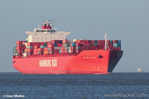
Rio De La Plata
Current StatusWhere is the vessel?
Rio De La Plata is currently in 24 nm S of STEWART ISLAND, based on AIS data received about 1h ago.
Latest AIS update:
Current position: 47.29299° S, 167.99750° E (24 nm S of STEWART ISLAND)
Average speed (last 7 days): Loading…
Average speed (last 30 days): Loading…
Vessel profile: Rio De La Plata is a Container Ship with dimensions 40m x 286m.
This page combines live AIS, route history, probable destination signals, nearby traffic, and port activity for practical vessel monitoring.
The current position of vessel Rio De La Plata is -47.29299 lat / 167.99750 lng. Updated: 2026-03-25 21:22:17 UTCDetails:
Live Vessel Rio De La Plata Analytics (details, animations, etc.)
Recent AIS points (UTC):
2026-03-25 15:32:20 UTC · -46.63011, 169.67815 · SOG 14.9 kn · COG 228°2026-03-25 17:45:54 UTC · -47.01159, 169.10970 · SOG 14.2 kn · COG 228°
2026-03-25 20:20:32 UTC · -47.26366, 168.35440 · SOG 14 kn · COG 263°
2026-03-25 21:22:17 UTC · -47.29299, 167.99750 · SOG 14.6 kn · COG 264°