 vesseltracker.com
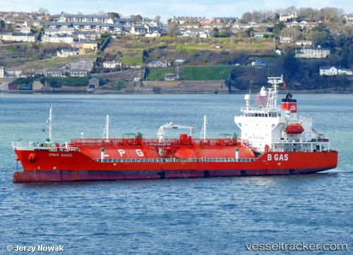
Find the position of the vessel B Gas Maud on the map. The latter are known coordinates and path.
marine traffic ship tracker show on live map
The current position of vessel B Gas Maud is 54.7659 lat / -1.18943 lng. Updated: 2025-07-12 07:05:24 UTCCurrently sailing under the flag of Malta
B Gas Maud built in 2006 year
Deadweight:
5073 tDetails:
Last coordinates of the vessel:
UTC, 54.765, -1.18933, course: 48, speed: 0UTC, 54.7657, -1.1896, course: 107, speed: 0
UTC, 54.7656, -1.18975, course: 88, speed: 0.1
2025-07-12 07:05:24 UTC, 54.7659, -1.18943, course: 121, speed: 0