 vesseltracker.com
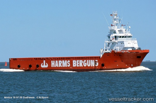
 ATLANTICA CARRIER
Current Status
Where is the vessel?
ATLANTICA CARRIER is currently in Near DELFSHAVEN, based on AIS data received about 2h ago.
Latest AIS update:
Current position: 51.90522° N, 4.43120° E (Near DELFSHAVEN)
Average speed (last 7 days): Loading…
Average speed (last 30 days): Loading…
Vessel profile: ATLANTICA CARRIER is a Offshore Supply Ship with dimensions m x m.
This page combines live AIS, route history, probable destination signals, nearby traffic, and port activity for practical vessel monitoring.
The current position of vessel ATLANTICA CARRIER is 51.90522 lat / 4.43120 lng. Updated: 2026-03-26 04:01:13 UTCNearest reference points:
- Near DELFSHAVEN
- Near ROTTERDAM WAALHAVEN
- Near Rotterdam
Currently sailing under the flag of Cyprus ![]()
Details:
Live Vessel ATLANTICA CARRIER Analytics (details, animations, etc.)
Recent AIS points (UTC):
2026-03-25 21:37:02 UTC · 51.90519, 4.43125 · SOG 0 kn · COG 59°2026-03-25 23:43:10 UTC · 51.90522, 4.43126 · SOG 0 kn · COG 59°
2026-03-26 01:39:06 UTC · 51.90527, 4.43129 · SOG 0 kn · COG 59°
2026-03-26 04:01:13 UTC · 51.90522, 4.43120 · SOG 0 kn · COG 59°