 vesseltracker.com
Find the position of the vessel MANTARO I on the map. The latter are known coordinates and path.
marine traffic ship tracker show on live map
The current position of vessel MANTARO I is -32.7467 lat / -71.5133 lng. Updated: 2024-04-29 11:33:12 UTCCurrently sailing under the flag of Panama
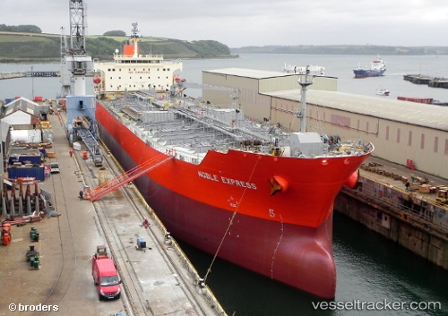
MANTARO I built in 2008 year
Port of registry:
Callao (city and main seaport of Peru)Deadweight:
51393 tPayload_mass:
51393 tonneGross tonnage:
30099Service entry:
2008-01-01T00:00:00ZDetails:
Last coordinates of the vessel:
UTC, -32.7459, -71.5149, course: 231, speed: 0.1UTC, -32.745, -71.5133, course: -1, speed: 0
UTC, -32.7467, -71.5133, course: -1, speed: 0
2024-04-29 11:33:12 UTC, -32.7467, -71.5133, course: -1, speed: 0