 vesseltracker.com
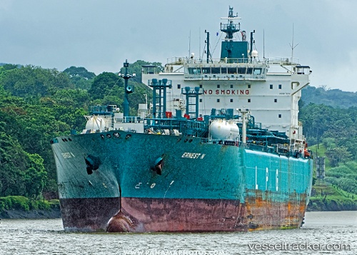
Find the position of the vessel Ernest N on the map. The latter are known coordinates and path.
marine traffic ship tracker show on live map
The current position of vessel Ernest N is 29.7303 lat / -59.3814 lng. Updated: 2024-05-19 12:29:37 UTCCurrently sailing under the flag of Liberia
Ernest N built in 2009 year
Port of registry:
Monrovia (capital city of Liberia)Deadweight:
43563 tPayload_mass:
43563 tonneGross tonnage:
36459Service entry:
2009-01-01T00:00:00ZDetails:
Last coordinates of the vessel:
UTC, 29.8941, -58.5848, course: 255, speed: 15UTC, 29.8059, -58.9789, course: 255, speed: 15.3
UTC, 29.7353, -59.3546, course: 257, speed: 15
2024-05-19 12:29:37 UTC, 29.7303, -59.3814, course: 257, speed: 15.1