 vesseltracker.com
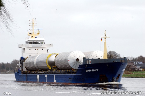
 KAROLIINA
Current Status
Where is the vessel?
KAROLIINA is currently in 12 nm W of Town Quays/Drogheda, based on AIS data received about 2h ago.
Latest AIS update:
Current position: 53.75927° N, 6.00745° E (12 nm W of Town Quays/Drogheda)
Average speed (last 7 days): Loading…
Average speed (last 30 days): Loading…
Vessel profile: KAROLIINA is a General Cargo Ship with dimensions 120m x 15m.
This page combines live AIS, route history, probable destination signals, nearby traffic, and port activity for practical vessel monitoring.
The current position of vessel KAROLIINA is 53.75927 lat / 6.00745 lng. Updated: 2026-03-26 04:01:04 UTCNearest reference points:
- 14 nm NW of Town Quays/Drogheda
- Near Hempens
- Near LEEUWARDEN
Currently sailing under the flag of Antigua and Barbuda ![]()
KAROLIINA built in 2008 year
Deadweight:
7953 tDetails:
Live Vessel KAROLIINA Analytics (details, animations, etc.)
Recent AIS points (UTC):
2026-03-25 21:38:24 UTC · 53.98559, 7.49885 · SOG 9.2 kn · COG 258°2026-03-25 23:43:23 UTC · 53.91542, 7.01826 · SOG 8.2 kn · COG 262°
2026-03-26 01:36:54 UTC · 53.86189, 6.59557 · SOG 8.9 kn · COG 259°
2026-03-26 04:01:04 UTC · 53.75927, 6.00745 · SOG 10.1 kn · COG 250°