 vesseltracker.com
 Brownsville
Current Status
Where is the vessel?
Brownsville is currently in 31 nm SE of Little Torch Key, based on AIS data received about 2h ago.
Latest AIS update:
Current position: 24.19167° N, 81.10833° W (31 nm SE of Little Torch Key)
Average speed (last 7 days): Loading…
Average speed (last 30 days): Loading…
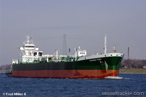
Vessel profile: Brownsville is a Pusher Tug with dimensions 184m x 184m.
This page combines live AIS, route history, probable destination signals, nearby traffic, and port activity for practical vessel monitoring.
The current position of vessel Brownsville is 24.19167 lat / -81.10833 lng. Updated: 2026-03-25 15:55:11 UTCNearest reference points:
- Near Summerland Key
- Near Key West
- 28 nm NE of VARADERO
Currently sailing under the flag of USA ![]()
Brownsville built in 2008 year
Deadweight:
1445 tDetails:
Live Vessel Brownsville Analytics (details, animations, etc.)
Recent AIS points (UTC):
2026-03-25 09:49:11 UTC · 24.80833, -80.30333 · SOG 9 kn · COG -1°2026-03-25 11:13:11 UTC · 24.63667, -80.46333 · SOG 9 kn · COG -1°
2026-03-25 14:25:13 UTC · 24.29333, -80.86833 · SOG 9 kn · COG -1°
2026-03-25 15:55:11 UTC · 24.19167, -81.10833 · SOG 10 kn · COG -1°