 vesseltracker.com
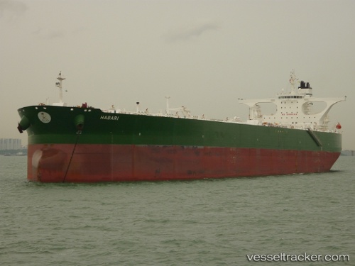
Find the position of the vessel 'HABARI' on the map. The latter are known coordinates and path.
marine traffic ship tracker show on live map
The current position of vessel 'HABARI' is 20.5885 lat / 59.6911 lng. Updated: 2024-05-04 13:39:02 UTCPort of registry:
Nassau (capital city of the Commonwealth of the Bahamas)Gross tonnage:
160782Service entry:
2008-01-01T00:00:00ZManufacturer:
Hyundai Samho Heavy Industries (company)Details:
Last coordinates of the vessel:
UTC, 19.6876, 59.0144, course: 32, speed: 12UTC, 20.0143, 59.2218, course: 20, speed: 11.4
UTC, 20.2477, 59.4067, course: 49, speed: 12.2
2024-05-04 13:39:02 UTC, 20.5885, 59.6911, course: 38, speed: 12.2
The ship also appears on the maps: