 vesseltracker.com
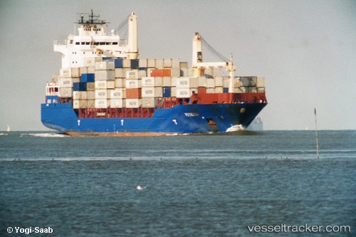
Find the position of the vessel Petkum on the map. The latter are known coordinates and path.
marine traffic ship tracker show on live map
The current position of vessel Petkum is -36.5033 lat / 176.192 lng. Updated: 2024-05-06 16:49:34 UTCPort of registry:
Saint John's (capital city of Antigua and Barbuda)Speed:
19 knotPayload_mass:
16975.3 tonneGross tonnage:
15633Service entry:
2008-01-01T00:00:00ZDetails:
Last coordinates of the vessel:
UTC, -36.6205, 176.231, course: 343, speed: 11.7UTC, -36.5233, 176.202, course: 87, speed: 0.8
UTC, -36.5227, 176.202, course: 93, speed: 0.8
2024-05-06 16:49:34 UTC, -36.5033, 176.192, course: -1, speed: 1