 vesseltracker.com
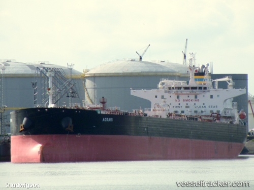
Find the position of the vessel Agrari on the map. The latter are known coordinates and path.
marine traffic ship tracker show on live map
The current position of vessel Agrari is 59.7101 lat / 28.4268 lng. Updated: 2024-05-05 21:54:41 UTCPort of registry:
Valletta (capital of Malta)Payload_mass:
105000 tonneGross tonnage:
58418Service entry:
2009-01-01T00:00:00ZManufacturer:
Shanghai Waigaoqiao ShipbuildingDetails:
Last coordinates of the vessel:
UTC, 59.7101, 28.4268, course: 179, speed: 0.1UTC, 59.7101, 28.4267, course: 178, speed: 0
UTC, 59.71, 28.4267, course: 179, speed: 0
2024-05-05 21:54:41 UTC, 59.7101, 28.4268, course: 178, speed: 0