 vesseltracker.com
Find the position of the vessel Geir Tore H on the map. The latter are known coordinates and path.
marine traffic ship tracker show on live map
The current position of vessel Geir Tore H is 69.5853 lat / 17.4188 lng. Updated: 2024-05-03 19:59:55 UTCCurrently sailing under the flag of Norway
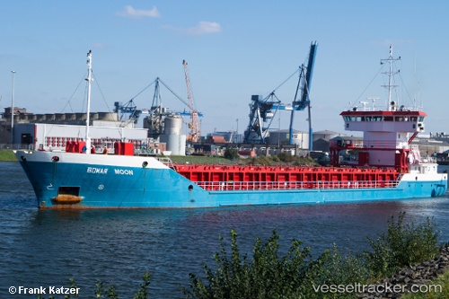
Geir Tore H built in 2010 year
Port of registry:
Harstad (city in Harstad municipality, Norway)Speed:
12.5 knotDeadweight:
2803 tPayload_mass:
2803.78 tonneGross tonnage:
2010Service entry:
2010-01-01T00:00:00ZManufacturer:
Ananda Shipyard and Shipways (Bangladeshi shipbuilding company)Details:
Last coordinates of the vessel:
UTC, 69.5417, 17.671, course: 56, speed: 0UTC, 69.5417, 17.6708, course: 56, speed: 0.1
UTC, 69.5766, 17.5761, course: 321, speed: 9.3
2024-05-03 19:59:55 UTC, 69.5853, 17.4188, course: 233, speed: 9.5