 vesseltracker.com
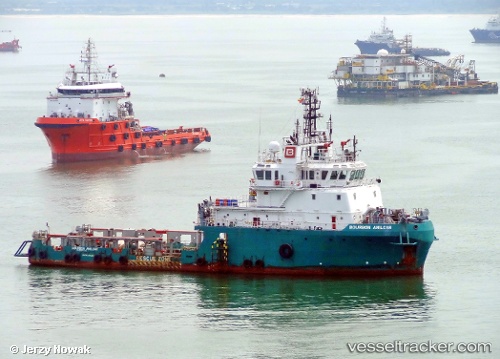
Find the position of the vessel Glomar Supporter on the map. The latter are known coordinates and path.
marine traffic ship tracker show on live map
The current position of vessel Glomar Supporter is 53.6003 lat / 0.490283 lng. Updated: 2024-05-05 15:02:10 UTCCurrently sailing under the flag of Panama
Payload_mass:
1200 tonneGross tonnage:
1971Service entry:
2009-01-01T00:00:00ZDetails:
Last coordinates of the vessel:
UTC, 53.5995, 0.490397, course: 77, speed: 0.3UTC, 53.5995, 0.490397, course: 77, speed: 0.3
UTC, 53.6003, 0.490283, course: 142, speed: 0.2
2024-05-05 15:02:10 UTC, 53.6003, 0.490283, course: 142, speed: 0.2