 vesseltracker.com
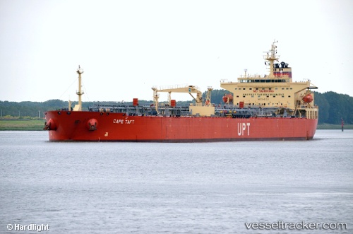
Find the position of the vessel Cape Taft on the map. The latter are known coordinates and path.
marine traffic ship tracker show on live map
The current position of vessel Cape Taft is 28.5083 lat / -94.445 lng. Updated: 2024-05-02 22:34:16 UTCPort of registry:
Majuro (coral atoll, capital of the Marshall Islands)Gross tonnage:
42010Operator:
Columbia Shipmanagement (company in Hamburg, Germany)Service entry:
2008-01-01T00:00:00ZDetails:
Last coordinates of the vessel:
UTC, 28.715, -94.555, course: -1, speed: 1UTC, 28.734, -94.6405, course: 350, speed: 2.1
UTC, 28.732, -94.6083, course: 107, speed: 9.9
2024-05-02 22:34:16 UTC, 28.5083, -94.445, course: -1, speed: 12