 vesseltracker.com
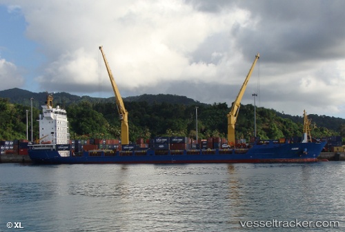
 Kiara
Kiara
Current Status
Where is the vessel?
Kiara is currently in 18 nm W of Saint-Gilles, based on AIS data received about 1h ago.
Latest AIS update:
Current position: 21.00273° S, 54.90622° E (18 nm W of Saint-Gilles)
Average speed (last 7 days): Loading…
Average speed (last 30 days): Loading…
Vessel profile: Kiara is a Multi Purpose Carrier with dimensions 123m x 21m.
This page combines live AIS, route history, probable destination signals, nearby traffic, and port activity for practical vessel monitoring.
The current position of vessel Kiara is -21.00273 lat / 54.90622 lng. Updated: 2026-03-26 03:23:58 UTCCurrently sailing under the flag of Antigua Barbuda ![]()
Details:
Live Vessel Kiara Analytics (details, animations, etc.)
Recent AIS points (UTC):
2026-03-25 22:14:18 UTC · -21.04908, 54.89568 · SOG 0.2 kn · COG 28°2026-03-25 23:34:18 UTC · -21.04097, 54.90046 · SOG 0.5 kn · COG 36°
2026-03-26 02:30:58 UTC · -21.01211, 54.90629 · SOG 0.6 kn · COG 40°
2026-03-26 03:23:58 UTC · -21.00273, 54.90622 · SOG 0.6 kn · COG 34°