 vesseltracker.com
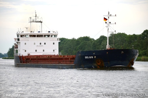
Find the position of the vessel Gelmond 2 on the map. The latter are known coordinates and path.
marine traffic ship tracker show on live map
The current position of vessel Gelmond 2 is 46.765 lat / 38.1899 lng. Updated: 2024-04-29 21:37:25 UTCCurrently sailing under the flag of Saint Kitts and Nevis
Payload_mass:
3557 tonneGross tonnage:
2678Service entry:
2008-01-01T00:00:00ZDetails:
Last coordinates of the vessel:
UTC, 46.765, 38.1901, course: 39, speed: 0.1UTC, 46.765, 38.19, course: 40, speed: 0.4
UTC, 46.7651, 38.1899, course: 53, speed: 0
2024-04-29 21:37:25 UTC, 46.765, 38.1899, course: 51, speed: 0