 vesseltracker.com
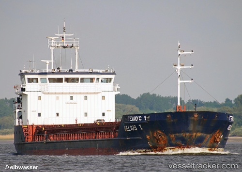
Find the position of the vessel GELMOND 1 on the map. The latter are known coordinates and path.
marine traffic ship tracker show on live map
The current position of vessel GELMOND 1 is 45.6481 lat / 13.3034 lng. Updated: 2024-04-29 14:07:45 UTCCurrently sailing under the flag of St Kitts Nevis
GELMOND 1 built in 2007 year
Deadweight:
3510 tPayload_mass:
3510 tonneGross tonnage:
2678Service entry:
2007-01-01T00:00:00ZDetails:
Last coordinates of the vessel:
UTC, 45.6485, 13.3032, course: 240, speed: 0UTC, 45.6484, 13.3033, course: 247, speed: 0
UTC, 45.648, 13.3034, course: 269, speed: 0
2024-04-29 14:07:45 UTC, 45.6481, 13.3034, course: 263, speed: 0