 vesseltracker.com
Find the position of the vessel Qikiqtaaluk W on the map. The latter are known coordinates and path.
marine traffic ship tracker show on live map
The current position of vessel Qikiqtaaluk W is 44.6532 lat / -63.5601 lng. Updated: 2024-05-08 08:42:58 UTCCurrently sailing under the flag of Canada
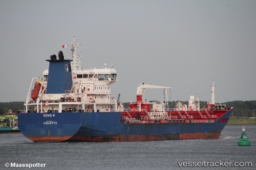
Qikiqtaaluk W built in 2011 year
Port of registry:
St. John's (capital and largest city of the province of Newfoundland and Labrador, Canada)Deadweight:
19984 tPayload_mass:
19998 tonneGross tonnage:
13097Service entry:
2011-01-01T00:00:00ZDetails:
Last coordinates of the vessel:
UTC, 44.6531, -63.56, course: 304, speed: 0UTC, 44.6531, -63.5601, course: 307, speed: 0
UTC, 44.6527, -63.5608, course: 341, speed: 0
2024-05-08 08:42:58 UTC, 44.6532, -63.5601, course: 309, speed: 0.1