 vesseltracker.com
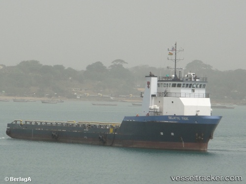
Find the position of the vessel Cape Davis on the map. The latter are known coordinates and path.
marine traffic ship tracker show on live map
The current position of vessel Cape Davis is 29.1312 lat / -90.2181 lng. Updated: 2024-05-18 23:42:00 UTCPort of registry:
New Orleans (city in Louisiana, United States)Payload_mass:
3270 tonneGross tonnage:
2183Service entry:
2007-01-01T00:00:00ZDetails:
Last coordinates of the vessel:
UTC, 29.1311, -90.2181, course: 254, speed: 0UTC, 29.1311, -90.2181, course: 255, speed: 0
UTC, 29.1311, -90.2181, course: 254, speed: 0
2024-05-18 23:42:00 UTC, 29.1312, -90.2181, course: 254, speed: 0