 vesseltracker.com
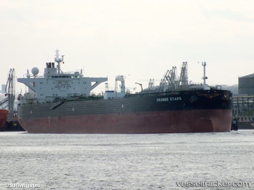
Find the position of the vessel Orange Stars on the map. The latter are known coordinates and path.
marine traffic ship tracker show on live map
The current position of vessel Orange Stars is 19.7461 lat / -20.3784 lng. Updated: 2024-05-03 03:30:07 UTCCurrently sailing under the flag of Marshall Is
Orange Stars built in 2011 year
Port of registry:
Majuro (coral atoll, capital of the Marshall Islands)Deadweight:
115756 tPayload_mass:
115756 tonneGross tonnage:
61314Service entry:
2011-01-01T00:00:00ZManufacturer:
Samsung Heavy Industries (South Korean shipbuilding company)Details:
Last coordinates of the vessel:
UTC, 20.5867, -20.2983, course: -1, speed: 11UTC, 20.3217, -20.3267, course: -1, speed: 12
UTC, 20.0507, -20.3498, course: 182, speed: 12.2
2024-05-03 03:30:07 UTC, 19.7461, -20.3784, course: 185, speed: 12.6