 vesseltracker.com
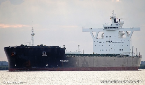
Find the position of the vessel Marijeannie on the map. The latter are known coordinates and path.
marine traffic ship tracker show on live map
The current position of vessel Marijeannie is -24.3019 lat / 9.401 lng. Updated: 2024-05-05 14:51:16 UTCSpeed:
14.5 knotPayload_mass:
179759 tonneGross tonnage:
94232Service entry:
2009-01-01T00:00:00ZManufacturer:
Hanwha Ocean (shipbuilder of South Korea)Details:
Last coordinates of the vessel:
UTC, -23.9351, 9.09788, course: 145, speed: 10.1UTC, -24.0053, 9.15706, course: 144, speed: 10.2
UTC, -24.2413, 9.34914, course: 141, speed: 9.8
2024-05-05 14:51:16 UTC, -24.3019, 9.401, course: 144, speed: 9.7