 vesseltracker.com
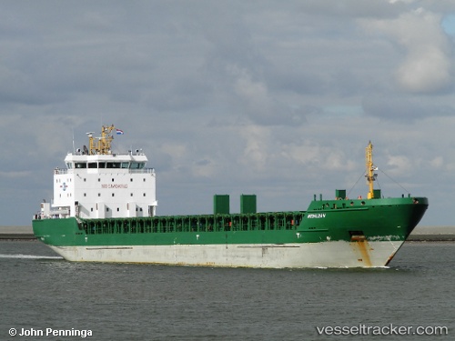
 SUA
SUA
Current Status
Where is the vessel?
SUA is currently in 30 nm SE of Boboras, based on AIS data received about 1h ago.
Latest AIS update:
Current position: 46.01667° N, 7.74667° W (30 nm SE of Boboras)
Average speed (last 7 days): Loading…
Average speed (last 30 days): Loading…
Vessel profile: SUA is a General Cargo with dimensions m x m.
This page combines live AIS, route history, probable destination signals, nearby traffic, and port activity for practical vessel monitoring.
The current position of vessel SUA is 46.01667 lat / -7.74667 lng. Updated: 2026-03-25 21:24:53 UTCNearest reference points:
- 57 nm S of Boboras
- 58 nm SE of Rietheim-Weilheim
- 22 nm N of Carino
Currently sailing under the flag of Portugal ![]()
Details:
Live Vessel SUA Analytics (details, animations, etc.)
Recent AIS points (UTC):
2026-03-25 16:11:15 UTC · 45.34826, -8.23509 · SOG 8.6 kn · COG 19°2026-03-25 17:54:52 UTC · 45.57333, -8.08500 · SOG 8 kn · COG -1°
2026-03-25 20:14:06 UTC · 45.86882, -7.86227 · SOG 8.5 kn · COG -1°
2026-03-25 21:24:53 UTC · 46.01667, -7.74667 · SOG 8 kn · COG -1°