 vesseltracker.com
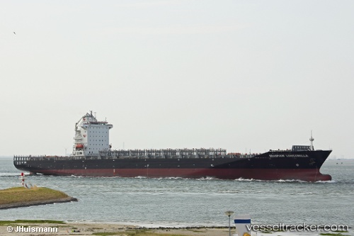
 LONCOMILLA
Current Status
Where is the vessel?
LONCOMILLA is currently in 18 nm E of Magdalena, based on AIS data received about 2h ago.
Latest AIS update:
Current position: 34.94684° S, 57.26251° W (18 nm E of Magdalena)
Average speed (last 7 days): Loading…
Average speed (last 30 days): Loading…
Vessel profile: LONCOMILLA is a Container Ship with dimensions m x m.
This page combines live AIS, route history, probable destination signals, nearby traffic, and port activity for practical vessel monitoring.
The current position of vessel LONCOMILLA is -34.94684 lat / -57.26251 lng. Updated: 2026-03-26 02:23:55 UTCNearest reference points:
- Near JUAN LACAZE
- Near Dock Sur
- Near Avellaneda
Currently sailing under the flag of Liberia ![]()
Details:
Live Vessel LONCOMILLA Analytics (details, animations, etc.)
Recent AIS points (UTC):
2026-03-25 20:07:38 UTC · -34.72210, -57.86407 · SOG 0.1 kn · COG 336°2026-03-25 21:34:37 UTC · -34.71935, -57.86720 · SOG 0.1 kn · COG 105°
2026-03-25 23:45:36 UTC · -34.75657, -57.59832 · SOG 7.5 kn · COG 103°
2026-03-26 02:23:55 UTC · -34.94684, -57.26251 · SOG 7.9 kn · COG 139°