 vesseltracker.com
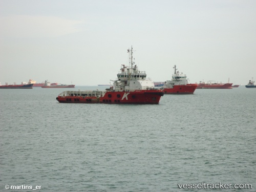
Find the position of the vessel Cecilie K on the map. The latter are known coordinates and path.
marine traffic ship tracker show on live map
The current position of vessel Cecilie K is 24.8538 lat / 53.5244 lng. Updated: 2024-05-06 02:22:31 UTCCurrently sailing under the flag of Marshall Is
Cecilie K built in 2010 year
Port of registry:
Majuro (coral atoll, capital of the Marshall Islands)Deadweight:
1686 tPayload_mass:
1686 tonneGross tonnage:
1731Service entry:
2010-01-01T00:00:00ZDetails:
Last coordinates of the vessel:
UTC, 24.8538, 53.5243, course: 337, speed: 0UTC, 24.8539, 53.5244, course: 338, speed: 0
UTC, 24.8538, 53.5243, course: 337, speed: 0.1
2024-05-06 02:22:31 UTC, 24.8538, 53.5244, course: 340, speed: 0