 vesseltracker.com
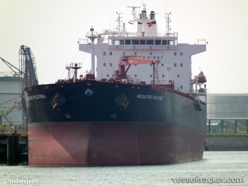
Find the position of the vessel Scf Plymouth on the map. The latter are known coordinates and path.
marine traffic ship tracker show on live map
The current position of vessel Scf Plymouth is 45.4544 lat / 12.2548 lng. Updated: 2024-05-08 03:57:19 UTCCurrently sailing under the flag of Liberia
Scf Plymouth built in 2011 year
Port of registry:
Monrovia (capital city of Liberia)Deadweight:
74606 tPayload_mass:
74606 tonneGross tonnage:
42208Service entry:
2011-01-01T00:00:00ZManufacturer:
Hyundai Mipo Dockyard (South Korean shipbuilding company)Details:
Last coordinates of the vessel:
UTC, 45.4544, 12.2548, course: 123, speed: 1.8UTC, 45.4544, 12.2548, course: 123, speed: 1.8
UTC, 45.4544, 12.2548, course: 123, speed: 1.8
UTC, 45.4544, 12.2548, course: 123, speed: 1.8
UTC, 45.4544, 12.2548, course: 123, speed: 1.8
2024-05-08 03:57:19 UTC, 45.4544, 12.2548, course: 123, speed: 1.8