 vesseltracker.com
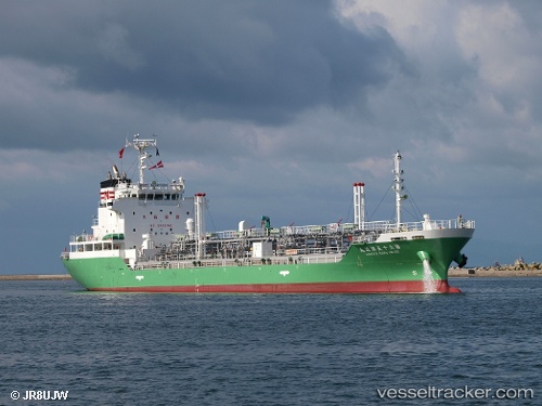
Find the position of the vessel NANIWA MARU NO. 65 on the map. The latter are known coordinates and path.
marine traffic ship tracker show on live map
The current position of vessel NANIWA MARU NO. 65 is 35.4889 lat / 139.708 lng. Updated: 2024-09-20 22:01:07 UTCCurrently sailing under the flag of Japan
NANIWA MARU NO. 65 built in 2008 year
Port of registry:
Tokyo (capital and largest city of Japan)Deadweight:
4999 tPayload_mass:
4999 tonneGross tonnage:
3768Service entry:
2008-01-01T00:00:00ZDetails:
Last coordinates of the vessel:
UTC, 35.4665, 139.704, course: 325, speed: 8.6UTC, 35.4887, 139.708, course: 59, speed: 0.3
UTC, 35.4889, 139.708, course: 60, speed: 0
2024-09-20 22:01:07 UTC, 35.4889, 139.708, course: 60, speed: 0