vessel '636020461' IMO: 9481702, vesseltracker.com
Vessel '636020461' IMO: 9481702,
MMSI: 636020461 callsign: size: x

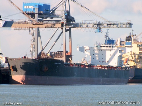
Find the position of the vessel '636020461' on the map. The latter are known coordinates and path.

marine traffic ship tracker show on live map

The current position of vessel '636020461' is 23.9083 lat / -46.7133 lng. Updated: 2024-05-04 19:44:55 UTC
Port of registry:
Valletta (capital of Malta)
Payload_mass:
106659 tonne
Gross tonnage:
62273
Beam:
43 metre
Service entry:
2012-01-01T00:00:00Z
Details:


Last coordinates of the vessel:
UTC, 23.9083, -46.7133, course: -1, speed: 9
2024-05-04 19:44:55 UTC, 23.9083, -46.7133, course: -1, speed: 9


Most frequent ports a vessels calls at '636020461' (636020461):

Algeciras, traffic: 5
Koper, traffic: 2
Swinoujscie, traffic: 2
Mobile, traffic: 2
Terneuzen, traffic: 2
Trieste, traffic: 2
Nouadhibou, traffic: 2
Vlissingen, traffic: 2
Flushing, traffic: 2
Port Etienne, traffic: 2
New Orleans, traffic: 1
Newport News, traffic: 1
Vishakhapatnam, traffic: 1
Bur Ibrahim, traffic: 1
Ostrica, traffic: 1

Link to the map:


Find another ship

'636020461' (636020461) last ports (portcalls and passsages)

Rizhao | 2023-12-28 17:22:48
Port Headland | 2023-12-11 05:45:05
Vishakhapatnam | 2022-11-12 20:32:55
Ras Gharib | 2022-10-28 04:16:51
Bur Ibrahim | 2022-10-27 19:42:44
Port Said | 2022-10-27 01:29:52
Algeciras | 2022-10-18 07:28:35
Newport News | 2022-10-02 10:06:07
Flushing | 2022-08-03 13:17:37
Zeebrugge | 2022-08-03 10:15:26
Terneuzen | 2022-07-25 14:04:39
Vlissingen | 2022-07-25 13:22:57
Ostrica | 2022-05-18 07:39:12
Good Hope | 2022-05-16 01:30:41
New Orleans | 2022-05-15 22:03:24
Port Sulphur | 2022-05-15 16:31:23
Helsingor | 2022-03-30 09:25:14
Swinoujscie | 2022-03-25 09:15:04
Nouadhibou | 2022-03-07 23:52:50
Port Etienne | 2022-03-07 08:54:25
Algeciras | 2022-03-01 18:35:23
Koper | 2022-02-07 16:46:11
Algeciras | 2022-01-31 01:36:13
Mobile | 2021-12-29 15:05:09