 vesseltracker.com
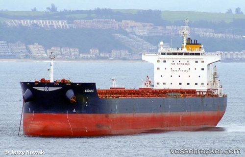
Find the position of the vessel Globe Danae on the map. The latter are known coordinates and path.
marine traffic ship tracker show on live map
The current position of vessel Globe Danae is 22.6283 lat / 116.832 lng. Updated: 2024-04-28 23:15:45 UTCPort of registry:
Majuro (coral atoll, capital of the Marshall Islands)Payload_mass:
80306 tonneGross tonnage:
43834Service entry:
2010-01-01T00:00:00ZDetails:
Last coordinates of the vessel:
UTC, 22.2455, 115.87, course: 68, speed: 12UTC, 22.39, 116.311, course: 70, speed: 11.8
UTC, 22.4864, 116.583, course: 57, speed: 11.7
2024-04-28 23:15:45 UTC, 22.6283, 116.832, course: 55, speed: 11