 vesseltracker.com
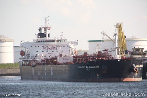
Find the position of the vessel UOG HARRIET G on the map. The latter are known coordinates and path.
marine traffic ship tracker show on live map
The current position of vessel UOG HARRIET G is 19.685 lat / 63.1483 lng. Updated: 2024-05-06 12:04:24 UTCCurrently sailing under the flag of Marshall Islands
UOG HARRIET G built in 2009 year
Port of registry:
Valletta (capital of Malta)Deadweight:
73338 tGross tonnage:
42010Service entry:
2009-01-01T00:00:00ZDetails:
Last coordinates of the vessel:
UTC, 20.2202, 62.6704, course: 137, speed: 11.9UTC, 20.1058, 62.7767, course: 137, speed: 11.8
UTC, 19.9996, 62.8522, course: 137, speed: 11.9
2024-05-06 12:04:24 UTC, 19.685, 63.1483, course: -1, speed: 12