 vesseltracker.com
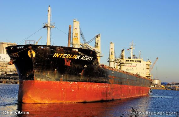
Find the position of the vessel Interlink Acuity on the map. The latter are known coordinates and path.
marine traffic ship tracker show on live map
The current position of vessel Interlink Acuity is -6.90167 lat / 49.075 lng. Updated: 2024-05-05 18:01:26 UTCPort of registry:
Majuro (coral atoll, capital of the Marshall Islands)Payload_mass:
37152 tonneGross tonnage:
24168Service entry:
2011-01-01T00:00:00ZDetails:
Last coordinates of the vessel:
UTC, -6.66333, 49.5317, course: -1, speed: 11UTC, -6.735, 49.405, course: -1, speed: 11
UTC, -6.77833, 49.3033, course: -1, speed: 12
2024-05-05 18:01:26 UTC, -6.90167, 49.075, course: -1, speed: 11