 vesseltracker.com
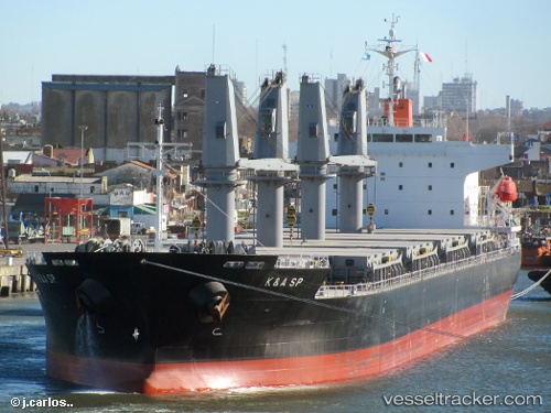
Find the position of the vessel Kerasia S on the map. The latter are known coordinates and path.
marine traffic ship tracker show on live map
The current position of vessel Kerasia S is 46.3223 lat / 30.656 lng. Updated: 2024-05-18 23:01:39 UTCCurrently sailing under the flag of Liberia
Payload_mass:
33170 tonneGross tonnage:
21483Service entry:
2011-01-01T00:00:00ZDetails:
Last coordinates of the vessel:
UTC, 46.3223, 30.656, course: 174, speed: 0UTC, 46.3223, 30.6561, course: 174, speed: 0
UTC, 46.3189, 30.6566, course: 174, speed: 17.9
2024-05-18 23:01:39 UTC, 46.3223, 30.656, course: 174, speed: 0